

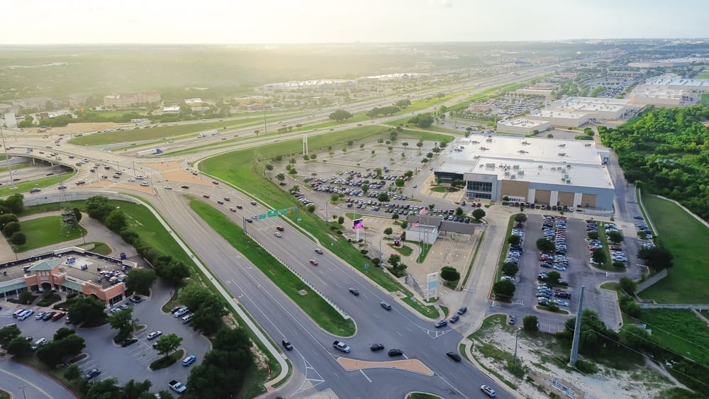
Why are I-35, SH-130, and FM-685 considered Pflugerville’s most dangerous roads? I-35, SH-130, and FM-685 are considered Pflugerville’s most dangerous roads because each one combines high traffic volume with conditions that increase crash risk in different ways. I-35 carries congested commuter and freight traffic at high speeds.
SH-130 mixes commercial trucks and passenger cars on a toll road built for speed. FM-685 has heavy local traffic at intersections that were not designed for current volume.
I-35, SH-130, and FM-685 are Pflugerville’s most dangerous auto accident corridors because they concentrate high-volume traffic on roadways that each present different combinations of speed, congestion, commercial vehicle activity, and intersection design problems.
The Pflugerville Police Department lists FM-685, East and West Pecan Street, the Heatherwilde Boulevard corridor, and Stone Hill Town Center roads among the city’s highest-crash areas. The Texas Department of Transportation has separately identified I-35 as carrying a much higher crash rate than the statewide average for urban interstates.
A Pflugerville auto accident lawyer sees these specific corridors repeatedly in crash files, and the patterns are not random.
Each of the three corridors functions differently. I-35 is the spine of the regional freight and commuter network. SH-130 was designed for high-speed pass-through traffic but carries a heavy mix of commercial trucks and local commuters.
FM-685 is a former farm-to-market road carrying volumes beyond what its original design anticipated.
At a Glance
- TxDOT publicly recognizes I-35 as having higher-than-average crash rates: The agency identifies the Pflugerville-area corridor as congested and accident-prone.
- SH-130 sees recurring multi-vehicle truck pileups: The Pecan Street area has produced multiple fatal crashes involving 18-wheelers and passenger vehicles.
- FM-685 is explicitly on the Pflugerville PD’s high-crash list: The department concentrates traffic enforcement there during peak crash periods.
- Commercial truck traffic affects all three corridors: Each carries enough commercial activity that the federal motor carrier rules become central in many crash cases.
- Evidence preservation matters more on these corridors: Surveillance, dashcam, and electronic logging device data have short retention windows that often run out before injured parties contact a lawyer.
I-35 Through Pflugerville — TxDOT’s Most Congested Texas Corridor
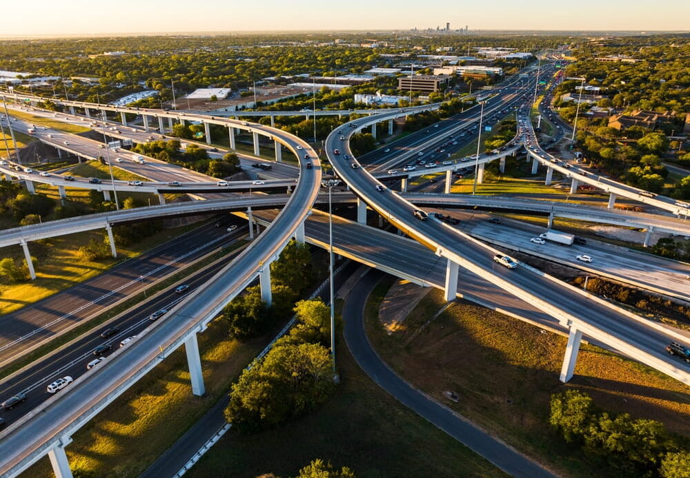
I-35 through Pflugerville is one of the most congested and crash-prone stretches of interstate in Texas, with the Texas Department of Transportation stating directly that the corridor “has a much higher crash rate than the statewide average for urban interstates.” The factors that produce that crash rate are well documented and consistent.
- Heavy commuter traffic during peak hours. I-35 carries traffic between Austin’s job centers and the residential growth north of the city. Peak hour congestion creates stop-and-go conditions that produce rear-end crashes and multi-vehicle pileups when high-speed traffic encounters sudden slowdowns.
- Commercial freight traffic at all hours. The interstate is a primary national freight corridor, with semi-trucks operating around the clock. Mixing fully loaded 80,000-pound vehicles with passenger commuter traffic produces severe crashes whenever the speed differential between trucks and other vehicles becomes a factor.
- Construction zones with shifting lane configurations. Ongoing I-35 improvement projects mean that lane configurations change periodically, with temporary patterns that drivers do not expect. Construction-zone crashes often involve drivers entering work zones at full highway speeds.
- Interchange and merge points concentrate risk. The Grand Avenue Parkway and SH-45 interchange areas have produced multiple major crashes involving 18-wheelers, including incidents requiring extended highway closures.
- Weather and visibility events trigger chain reactions. Fog, rain, and sun glare produce sudden visibility reductions on I-35 that can cause chain-reaction crashes involving dozens of vehicles, particularly during winter mornings.
The combination of these factors makes I-35 the corridor most likely to produce serious crashes in the Pflugerville area, and the crashes that occur typically involve substantial damages because of the speeds and vehicle types involved.
SH-130 — High-Speed Toll Road Carrying Commercial Truck Traffic
SH-130 is a Texas toll road that runs east of Austin and carries a significant share of through-traffic and freight that would otherwise use I-35. The Pflugerville section of SH-130 has produced multiple fatal multi-vehicle crashes, and the crash patterns vary depending on the specific location along the corridor.
| SH-130 Crash Location | Common Crash Pattern | Contributing Factors |
|---|---|---|
| Pecan Street area | Multi-vehicle truck involvement | Heavy freight traffic, high closing speeds, weather-related visibility |
| Pflugerville Parkway interchange | Lane-change collisions and rear-end crashes | Entering and exiting traffic, lane reductions, congestion backups |
| Cameron Road south to FM-1100 | Rollover and run-off-road crashes | High-speed travel, fatigue on long-haul routes, divided attention |
| Between SH-45 and US-79 | Rear-end during sudden slowdowns | Congestion bottlenecks, speed differentials, distracted driving |
The crashes that occur on SH-130 frequently involve commercial trucks regulated by the Federal Motor Carrier Safety Administration, and the federal regulatory framework affects both the liability analysis and the available insurance coverage.
Commercial carriers operating on SH-130 must maintain coverage substantially higher than standard auto policy limits, and the carrier defense teams respond to crashes on this corridor with practiced efficiency.
Weather conditions add another dimension to SH-130 crash risk. The road’s exposure to fog, particularly in the lower elevations near Mustang Ridge, has been documented as a factor in multi-vehicle pileups where chain reactions develop quickly in low-visibility conditions.
FM-685 and the Pecan Street Intersection
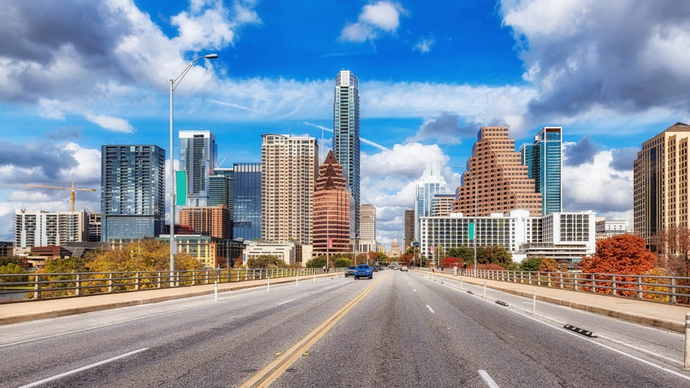
FM-685 runs through Pflugerville as one of the city’s primary surface arterials, and the Pflugerville Police Department has explicitly identified it as one of the areas with the highest crash potential based on department data.
The crash patterns on FM-685 differ from interstate or toll road crashes because they are concentrated at intersections rather than along high-speed stretches.
The Pecan Street Intersection Design Problem
The intersection of Pecan Street and FM-685 (also called Dessau Road in this stretch) has required the installation of a displaced left turn design to manage traffic volumes. The unusual intersection geometry was implemented specifically because conventional intersection designs could not handle the traffic load safely. Drivers unfamiliar with the displaced left turn pattern can become confused, and the confusion produces its own category of crashes.
Residential Subdivision Entries
FM-685 has subdivision entries spaced along its length, each one introducing turning traffic into a corridor designed for through movement. Left-turn crashes at these entry points are a recurring crash pattern, often involving drivers who did not anticipate vehicles slowing or stopping to turn into residential streets.
Heatherwilde Boulevard and Stone Hill Connectivity
The connection between FM-685 and Heatherwilde Boulevard, along with the Stone Hill Town Center roads, creates concentrated traffic at points the original road was not designed to accommodate. The Pflugerville PD identifies this entire network as a high-crash zone, and crashes here often involve relatively low speeds but result in significant injuries due to the angles and configurations of impacts.
Weather and Surface Conditions
FM-685’s older design includes drainage and surface characteristics that perform differently in heavy rain than newer roadway construction. Hydroplaning crashes, run-off-road incidents during storms, and crashes at flooded low-water crossings periodically occur and may involve government liability questions in addition to driver negligence.
What Should You Do After a Crash on a Pflugerville Corridor?

The steps to take after a crash on a Pflugerville corridor are not different from any other Texas crash in their general outline, but the specific corridors raise particular evidence and procedural considerations that can affect the value of the eventual claim.
- Get to safety and call 911. Pflugerville Police, Travis County Sheriff, and Texas Department of Public Safety all respond to crashes on these corridors depending on the location. SH-130 crashes typically draw DPS troopers; I-35 crashes inside Pflugerville may draw multiple agencies. The official accident report becomes the foundation of the eventual case.
- Photograph the scene before vehicles are moved. Crashes on high-speed corridors get cleared quickly because they cause backups that affect thousands of other drivers. Photographs taken immediately after the crash, before vehicles are moved to shoulders or removed entirely, may be the only visual record of the actual crash positioning.
- Identify witnesses and capture contact information. Other drivers who saw the crash often continue on their commute without staying at the scene. Getting names and phone numbers from anyone who stops can be the difference between a clear liability case and a disputed one weeks later.
- Seek medical evaluation even if you feel functional. Crashes on high-speed corridors produce injuries that adrenaline masks for hours. Soft tissue injuries, concussions, and internal injuries often present mild symptoms initially. Medical documentation in the first 24 to 48 hours creates the contemporaneous record that ties later symptoms to the crash.
- Preserve electronic and physical evidence. Dashcam footage, vehicle event data recorder information, and commercial vehicle electronic logging device records all have limited retention windows. Sending preservation letters early protects the evidence the eventual case may need.
- Decline recorded statements until you have spoken to a lawyer. The at-fault driver’s insurance and any commercial carrier involved will request recorded statements within days. Politely declining until you have consulted counsel does not hurt the case and protects against statements that get used to support comparative fault arguments later.
The steps work whether the crash happened on I-35, SH-130, FM-685, or anywhere else in the city. The corridor only changes which evidence becomes most important and which defendants may be involved.
Frequently Asked Questions
Are commercial truck crashes more common on SH-130 than on I-35?
Commercial truck crashes occur on both corridors, but the patterns differ. SH-130 carries a higher proportion of long-haul freight traffic per vehicle mile, while I-35 carries higher total volumes.
Multi-truck pileups have occurred on both corridors, and the federal regulatory framework applies to commercial vehicles regardless of which road the crash occurred on. Either corridor can produce a crash where the carrier’s defense team arrives within hours.
What is the statute of limitations for a Pflugerville crash claim?
Two years from the date of the crash under Texas Civ. Prac. & Rem. Code § 16.003. The clock starts on the crash date and does not pause during medical recovery or insurance negotiations. Evidence preservation windows on these corridors are substantially shorter than the two-year deadline, often running out within weeks.
Can I file a claim against TxDOT or Travis County for roadway conditions?
Possibly, depending on the specific facts. Texas governmental immunity rules limit when public entities can be sued, but the Texas Tort Claims Act provides exceptions for certain types of negligence. Claims against government entities have strict notice requirements that run on much shorter timelines than the standard two-year statute of limitations, and missing the notice deadline forfeits the claim.
What if my crash involved an out-of-state driver on I-35?
Out-of-state drivers can be sued in Texas courts when the crash occurred in Texas, under standard personal jurisdiction rules. The driver’s home state insurance generally still applies, and Texas’s comparative fault rules apply to the underlying liability analysis. Out-of-state defendants do not change the fundamental case analysis, though they can affect procedural choices about where to file.
Are crashes at the Pecan Street and FM-685 intersection treated differently because of the unusual design?
The intersection’s displaced left-turn design complicates crash analysis, particularly for crashes involving drivers unfamiliar with the layout. Whether the intersection design itself contributes to a specific crash depends on the facts, and engineering analysis of the intersection may become part of the case if signage, signal timing, or visibility issues affected what happened.

The Corridor Decides What Evidence the Case Needs
A crash on I-35 produces a different case than a crash on SH-130, which produces a different case than a crash on FM-685. The corridor determines what evidence matters, which defendants may be involved, and how quickly the case has to move to preserve the records that will decide the outcome.
Treating a Pflugerville crash as just “a car accident” misses the corridor-specific factors that often control the eventual recovery.
The injured parties who recover full value from these crashes are the ones who recognize that the road they were on shapes the case from the first day. The evidence available on I-35 is not the same as the evidence available on FM-685, and the lawyers who handle these cases regularly know where to look.
What corridor were you on when the crash happened, and what specific evidence is going to decide your case? If you were hurt on I-35, SH-130, FM-685, or anywhere else in the Pflugerville area, contact the injury attorneys at Slingshot Law to discuss the details of your situation. Call (800) 488-7840.